
Unveiling Berkeley: A Geographic Guide to Its Location
Berkeley, California, a name often associated with academia and activism, is a city nestled in the heart of the San Francisco Bay Area. If you’ve ever wondered exactly where Berkeley is located on a map, you’re not alone. Let’s embark on a journey to pinpoint this vibrant city’s geographical coordinates and understand its unique place within California.
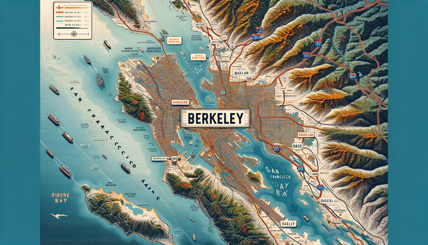
Finding Berkeley on the Map
Berkeley is situated in Northern California, on the eastern shore of the San Francisco Bay. It’s part of Alameda County and is directly across the bay from San Francisco. To locate Berkeley on a map, you can start by identifying the San Francisco Bay Area, a sprawling metropolitan region known for its cultural, economic, and technological significance.
Coordinates and Boundaries
The city’s coordinates are approximately 37.8715° N latitude and 122.2730° W longitude. Several notable areas border Berkeley:
- To the west, you’ll find San Francisco Bay, which provides stunning waterfront views and recreational opportunities.
- To the south, Berkeley shares a border with Oakland, a city renowned for its diverse culture and vibrant arts scene.
- To the north lies Albany, a smaller city with a cozy, suburban feel.
- To the east, the Berkeley Hills rise, offering a natural boundary and scenic landscapes that are perfect for hiking and outdoor activities.
Proximity to Major Landmarks
Berkeley’s proximity to major California landmarks makes it an easily accessible destination. It is approximately 12 miles northeast of downtown San Francisco. The famous Golden Gate Bridge, an iconic symbol of the region, is just a short drive or ferry ride away. Additionally, Berkeley is about 25 miles northwest of Silicon Valley, the global hub for technology and innovation.
Getting to Berkeley
Traveling to Berkeley is convenient whether you’re coming by car, train, or plane. The city is well-connected by major highways, including Interstate 80 and Interstate 580, which run along the western edge of Berkeley, providing direct routes to other Bay Area cities. Public transportation options, such as the Bay Area Rapid Transit (BART) system, offer efficient access to and from San Francisco and Oakland.
For those flying in, Oakland International Airport is the closest major airport, located just about 15 miles south of Berkeley. San Francisco International Airport, another primary gateway, is approximately 25 miles to the southwest.

The Charm of Berkeley’s Neighborhoods
Berkeley is a city of neighborhoods, each with its distinct character and charm.
- Downtown Berkeley: The city’s bustling heart, home to a mix of shops, restaurants, and cultural venues, including the Berkeley Repertory Theatre.
- North Berkeley: Known for its gourmet ghetto, this area boasts some of the finest dining options and a rich culinary history.
- South Berkeley: A vibrant and diverse community with an array of cultural spots and local businesses.
- West Berkeley: This industrial-chic area by the waterfront offers a blend of residential and commercial spaces with a burgeoning arts scene.
Educational and Cultural Hub
At the core of Berkeley is the University of California, Berkeley, one of the most prestigious public universities in the world. The campus itself is a landmark, with its historic buildings, expansive libraries, and lush green spaces. This academic institution not only shapes the city’s intellectual life but also contributes to its cultural and social dynamism.
Outdoor Recreation and Natural Beauty
Berkeley’s location provides ample opportunities for outdoor enthusiasts. The Berkeley Marina and its surrounding parks offer stunning views of the bay and the San Francisco skyline. Tilden Regional Park, located in the Berkeley Hills, is a sprawling natural reserve with hiking trails, a botanical garden, and picnic areas, making it a favorite among locals and visitors alike.
Conclusion
Understanding where Berkeley, California, is on a map reveals not just its geographical coordinates but also its significance within the larger context of the San Francisco Bay Area. Whether you’re planning a visit, considering a move, or simply curious about this iconic city, knowing its location helps you appreciate its unique blend of natural beauty, academic prestige, and cultural richness. Next time you look at a map of Northern California, you’ll be able to pinpoint Berkeley with confidence and maybe even plan your next adventure to this dynamic and storied city.